We get water from local rivers and underground sources called aquifers. An aquifer is an underground layer of rock that holds water. We use this water to produce around 543 million litres of drinking water every day for our 2.3 million customers across the South East.
We see ourselves as guardians of the environment. We’re working hard to protect and improve the areas where we get our water so there’s enough for everyone in the future.
The amount of water we take is based on how much our customers use.It’s also controlled by the Environment Agency, which gives us a licence that tells us how much water we can take.
So next time you use water at home, remember it comes from our local environment.
Making sure there’s enough water for everyone
We need to make sure we’re not harming the rivers and streams we use to get your water. That’s why we have a scheme called Restoring Sustainable Abstraction. This scheme helps us make sure we take enough water for our customers while leaving enough in the rivers and streams for nature.
We also work with local landowners and the South East Rivers Trust to improve the river habitats. For example, we might work to reduce pollution, manage how much vegetation grows, or fix any changes made to the river in the past.
Rivers we’re working to improve
The Environment Agency and Natural England have asked us to improve the health of these rivers and streams:
• Bisham Brook, Berkshire
• Candover Stream, Hampshire
• Maidenhead Ditch (River Thames), Berkshire
• Upper River Darent (and its tributaries), Kent
• River Hart and Itchel Brook, Hampshire
• River Rother, East Sussex
• River Stour, Kent
• Upper River Wey, Hampshire.
We work with environmental organisations, local councillors, residents and land managers to get feedback on how we can improve the rivers and habitats.
We also work with farmers and landowners all year round to protect water quality in rivers, reservoirs and aquifers through our award-winning Catchment Management programme.
Our Projects

Great Stour Chalk Stream
This is a long-term project to protect the River Stour and its habitats. We’re working to change how the land near the river is managed and how people use water. We’re also looking at how new developments are planned.
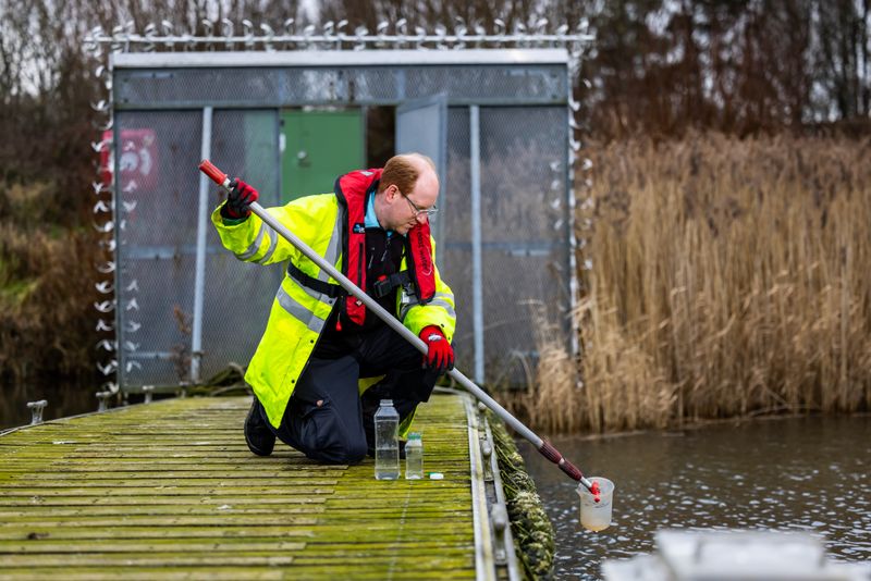
We’ve been monitoring the water quality, river health, and even doing aerial surveys. This helps us understand where water is being used and what the risks are to water quality.
We’ve also been doing pilot studies to understand how the land near the river is managed and how this affects the water that goes into the aquifer.
We’re working with lots of different people and organisations to make long-term changes.Here are some of the things we’re working on:
• Making the area more resilient to droughts and floods.
• Restoring the river and its habitats.
• Managing water resources sustainably.
• Creating natural carbon sinks.A carbon sink is anything that absorbs more carbon from the atmosphere than it releases.Protecting and restoring natural environments like forests, peatlands, and oceans can help remove carbon dioxide from the atmosphere.
• Educating people about the importance of the river.
• Working with developers and highways agencies.
Take a look at our video below for a case study on this project.

Maidenhead Ditch
We’re focusing on three sections of the Maidenhead Ditch in the Cookham area: Marsh Meadow, Fleet Ditch and Strand Water. Over the past five years, we’ve been working with local people and monitoring the flow, water quality, and the populations of tiny creatures called macroinvertebrates that live in the river.
We’ve also done surveys of the land around the river, including looking at things like what’s growing there, the history of the land, and what wildlife lives there. This helps us understand any restrictions that might affect our work.
In 2024, we created new wetland areas and clear some of the trees along the riverbank. This will improve the mix of light that reaches the river. We’ll reuse the felled trees in the river to create areas where the river narrows. This will help the river flow better and create new habitats for fish.

Upper River Darent
We’ve been investigating the Cramptons Road, Kemsing, and Oak Lane water sources. We’ve decided to use something called “adaptive management” to improve the river. This means we’ll be making changes to the river and monitoring the results to see what works best.
Between September and November 2024, we’re working with the South East Rivers Trust and AtkinsRealis at Childsbridge Farm on the Honeypot Stream. This stream flows into the Upper River Darent.
We’ll be rerouting the stream, widening the banks, making the bends in the river more curved, and creating a wetland. This will improve the flow of the stream and reduce the risk of flooding.
Testing our pumping stations
We sometimes do tests at our pumping stations. These are the places where we take water from rivers or underground and send it to our water treatment works. These tests help us understand how the water we use is connected to the environment. They also help us understand how our work might affect natural water levels and flows, and how this might affect the habitats that depend on the river.
We do these tests when water levels are at their lowest, usually at the end of summer.
We start by taking out water at a steady rate for a while. This gives us a baseline of data. Then we change how much water we’re taking out and see what happens. We might stop taking water completely for a bit, or we might take out water at a low rate and then slowly increase it.
The tests are different for each pumping station, depending on the specific location and what information we need.
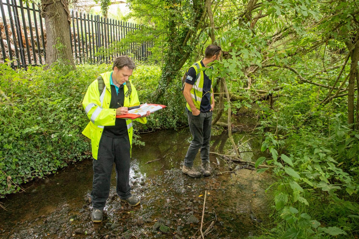
You might see our team doing monitoring work in the area. Please feel free to ask them any questions you have. You can also contact us online or by phone.
Environmental Surveys
We work with environmental specialists like Jacobs to do surveys of the rivers. These surveys help us understand the health of the river and make the best decisions for the future.
The surveys usually look at insects, plants, the height of the land, and the different habitats in the river.
Sign up for updates
To receive details of future environmental improvements and other news and events, Sign up for our newsletter.
