From 2017 to 2022, we took part in the EU-funded PROWATER project to understand how nature-based solutions can protect our landscape against the effects of climate change.
Known as Ecosystem-based Adaptation, changing the way that the land is managed can make it more resilient against drought or flooding.
That's because what the land is used for - such as forestry or farming - can have positive and negative effects on how much water can infiltrate the ground, how clean this river or groundwater is and the range of wildlife living there.
South East England is classed as water-stressed by the Environment Agency with drought and flooding both becoming more common due to climate change.
Improving our landscape is more cost-effective and has a lower carbon footprint than other measures to increase the amount of water available to use for drinking water.


Other measures, such as introducing more extensive treatment processes or new water abstractions are not sustainable long-term and don't have the added benefits of increasing wildlife and carbon storage.
That's why 10 project partners, including academic institutions, local authorities, environmental organisations and water companies in Belgium, the Netherlands and the UK worked together to trial different Ecosystem-based Adaptation measures.
In the UK region, we worked with Kent County Council(opens in a new tab), Westcountry Rivers Trust(opens in a new tab), and South East Rivers Trust.(opens in a new tab)
We looked at how we could use a natural capital approach to quantify the value of our natural world and developed a Payment for Ecosystem Services model to fund improvements to the landscape which benefit water availability, quality and wildlife.
As part of this project we also developed a new water system map(opens in a new tab) for Europe, to help identify priority areas to conserve or restore ecosystem-based adaptation measures.
Watch the video below to understand what we learned from this project.
Read on to discover more about the three pilot projects in South East England
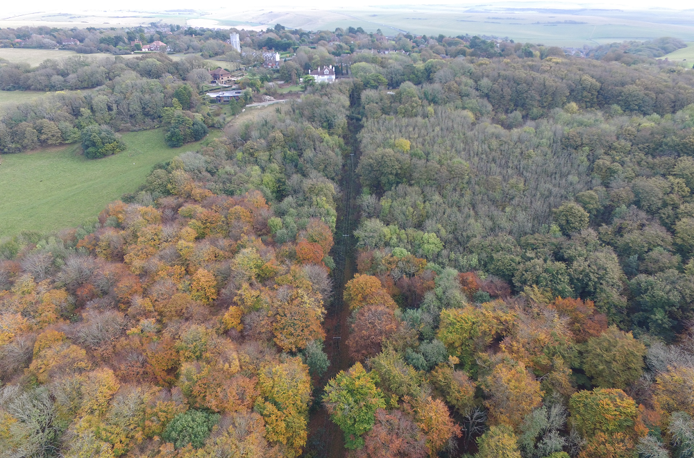
Friston Forest and Lullington Heath
Sitting above Eastbourne Aquifer, a primary source of drinking water for Sussex residents, is Friston Forest, Lullington Heath Site of Special Scientific Interest (SSSI) and National Nature Reserve, and Wilmington Downs SSSI.
Around 75% of the site is leased to the Forestry Commission, making it the largest area of recently established forest in south-east England. On Lullington Heath and Wilmington Downs SSSIs, the rare chalk grassland and heathland is at risk of being taken over by scrub and gorse.
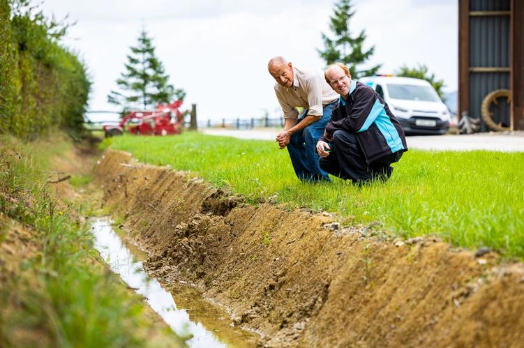
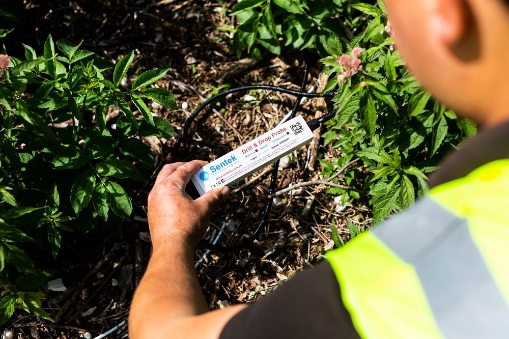
We opened up small pockets of woodland, scrub and gorse to allow the native chalk grassland and heathland to regrow, before monitoring water quality and infiltration rates for two years.
The number and range of species present was also recorded before and after the changes.


River Beult
Downstream of the River Beult, water is abstracted and turned into drinking water at a number of locations.
But the river drains quickly after rainfall, so water may only be available to abstract for a relatively small time before it flood downstream. Because rainwater runs off the land surrounding the river so quickly, it can pick up sediment, nutrients and pesticides along the way, all of which are removed at water treatment works in an energy-intensive process.
Slowing down the rate at which water flows through the Beult will lead to multiple benefits, such as reduced flood risk, reduced environmental pollution and an increase in wildlife.


Little Stour
Three water companies in south-east England abstract groundwater from the chalk aquifer, ready to turn into crystal-clear drinking water.
During periods of dry weather, river flows in the Little Stour tributary are low, but other areas nearby suffer from flooding.
By changing land use in the area surrounding the Little Stour, we hope that water will infiltrate through the ground more easily, making more water available in the aquifer. We anticipate it will also reach the river system more slowly, to even out the peaks and troughs of river flows and reduce flooding events.